LAnd of fire
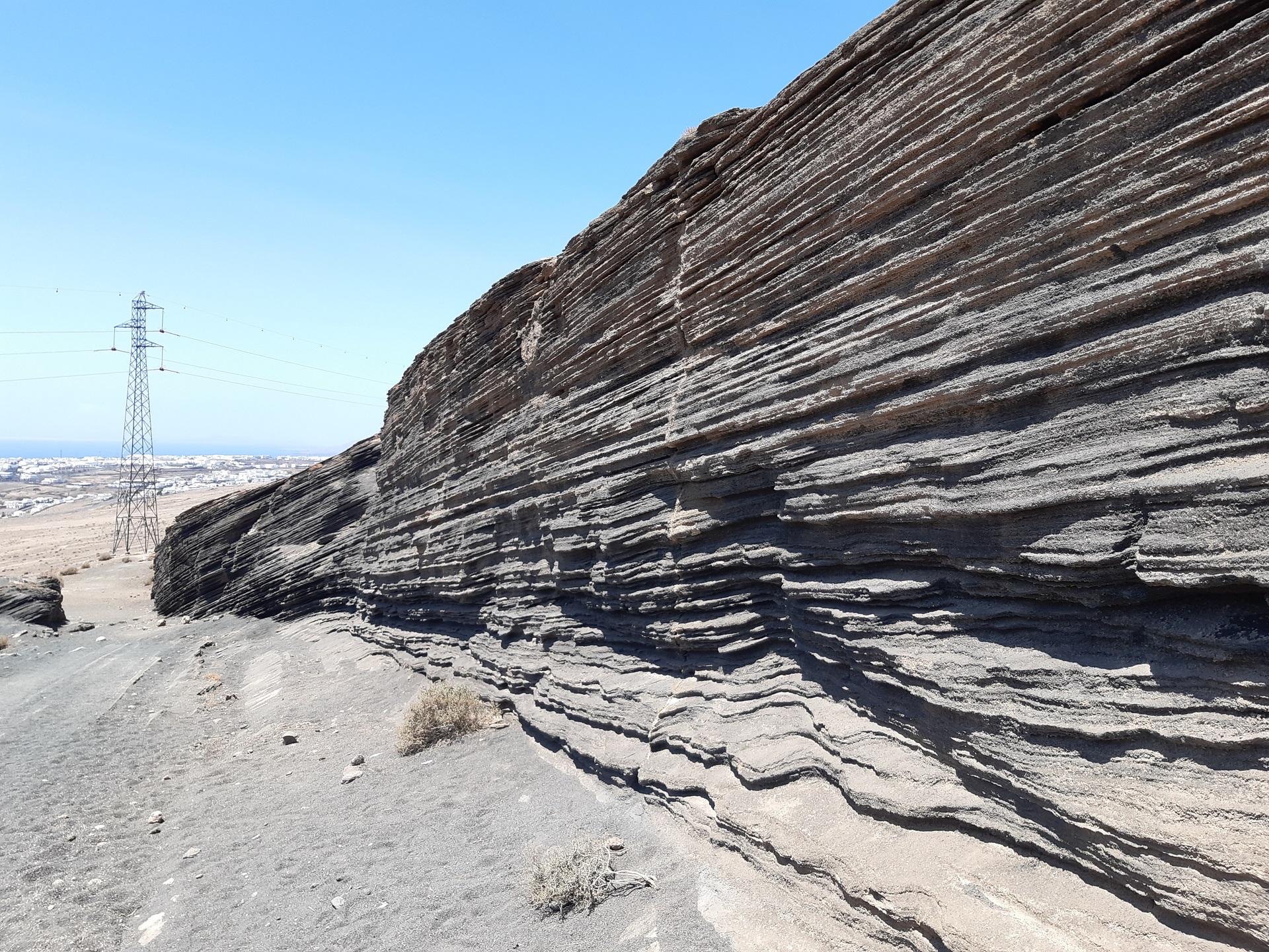
Early in the morning, we hit the road. The sun was just climbing over the mountain tops as we drove along the empty highway, right off the Pico Redondo trail towards the village of Femés. The first road climb provided evidence of the island’s volcanic past. Traces of flowing molten rocks can still be visible on the mountain sides, creating wave-like patterns highlighted by the ever-present sunshine.
If you like volcanoes, you can pay a visit to the national parks Los Volcanes and Timanfaya located in the center and the west of the island, but you will encounter this type of landscape pretty much everywhere around.
Femés village serves as the entrance to Lanzarote’s wine farming area. One cannot help but wonder how anything can survive in these conditions with so little rain. However, locals have an indigenous way of growing wines. They use a combination of a pit in which the vines grow and rocky walls, mostly halfway around the edge of the pit, to shield the vines from the ever-blowing wind. The volcanic soil is very fertile, providing a lot of nutrients. Apparently, based on the taste of their wine, it works like magic. You can stop at local shops and buy some to test the theory yourself. By the time you reach La Geria village, the countryside is simply black—a strange yet beautiful sight.
Another local specialty I encountered is the Aloe plant, widely grown all over the island. It’s so popular that it even has a museum dedicated to it. You can find a variety of aloe products here, but because aloe products are widely available everywhere, we didn’t really bother
Mirador de El Risco de Famara
Following the LZ-30 and LZ-10 roads, we eventually stopped just below the peak of Montaña de Haría. There, a lookout point called Mirador Barranco del Chafarís faces the east coast. If you continue along the gravel road a bit further up, you’ll reach a small parking area—emphasis on “small.” A few steps from there, you’ll stand at the edge of an impressive mountain wall, on a viewing plateau enclosed by a manmade rocky wall, facing west. The views from this spot are breathtaking. The village of Famara, nestled under the mountain, right on Famara beach, resembles a miniature model. The small houses (which appear even smaller due to the height and distance) form an organized cluster of white dots, sharply contrasting with the barren badlands landscape. The white caps of the waves constantly lap the beach as far as the eye can see, propelled by the wind blowing in from the Atlantic. With nothing in sight to the west, you can only imagine the distance to the nearest western coast—America.
If you follow the road downhill toward the village of Haría, you’ll be rewarded by great views, as this part is regarded as a scenic route. It winds its way down, offering great scenery, narrowly cutting through mountainside. If you meet the bus on the way down, it may prove to be a bit of a challenge.
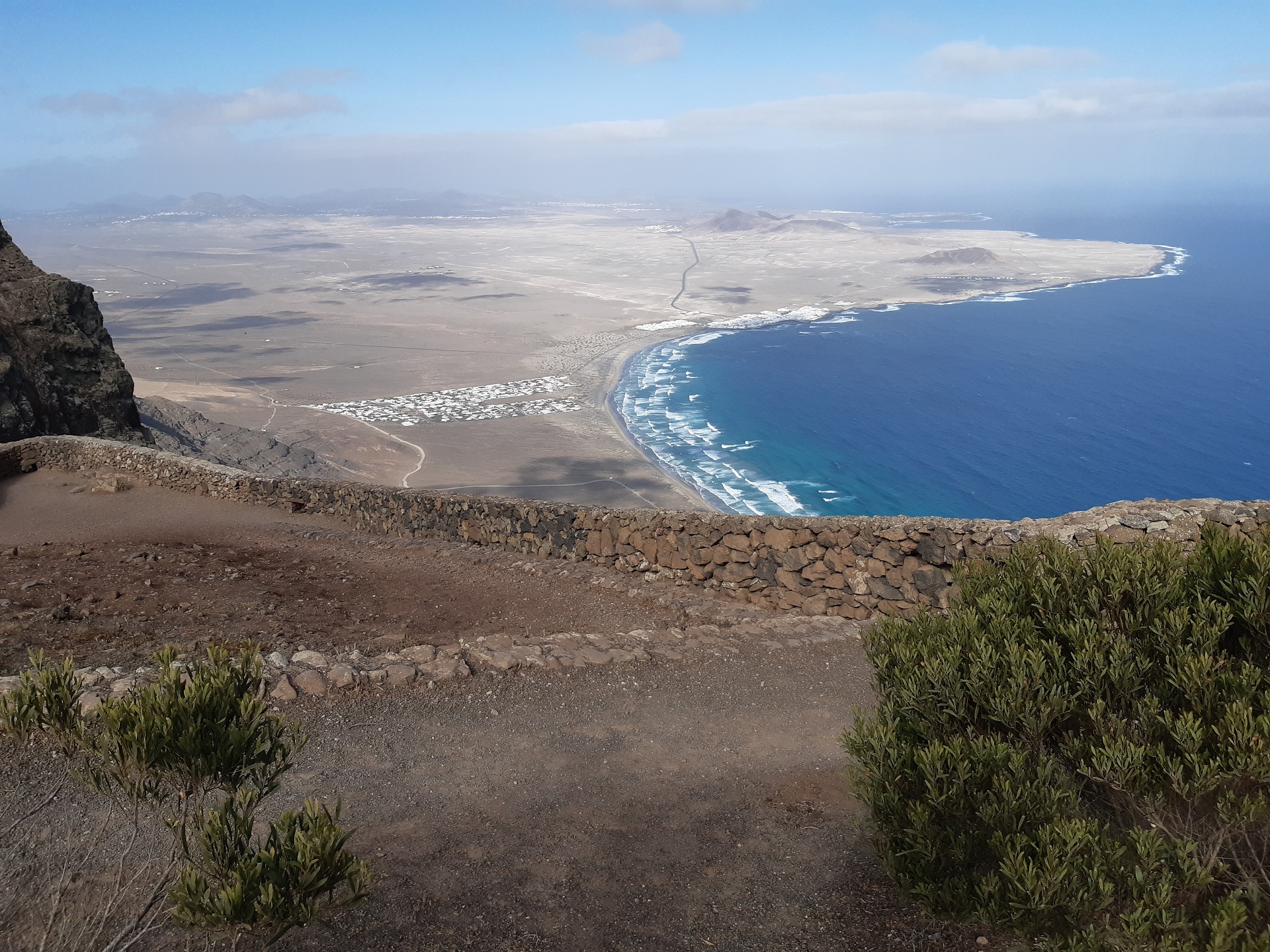
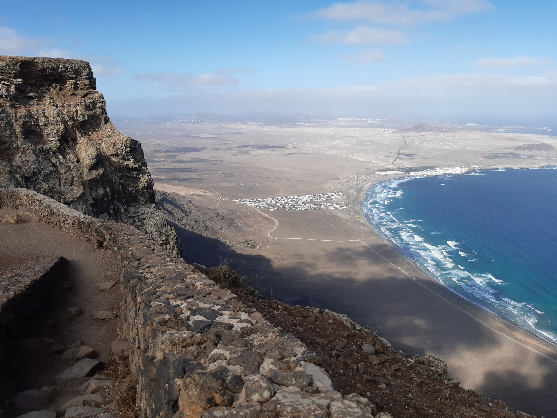
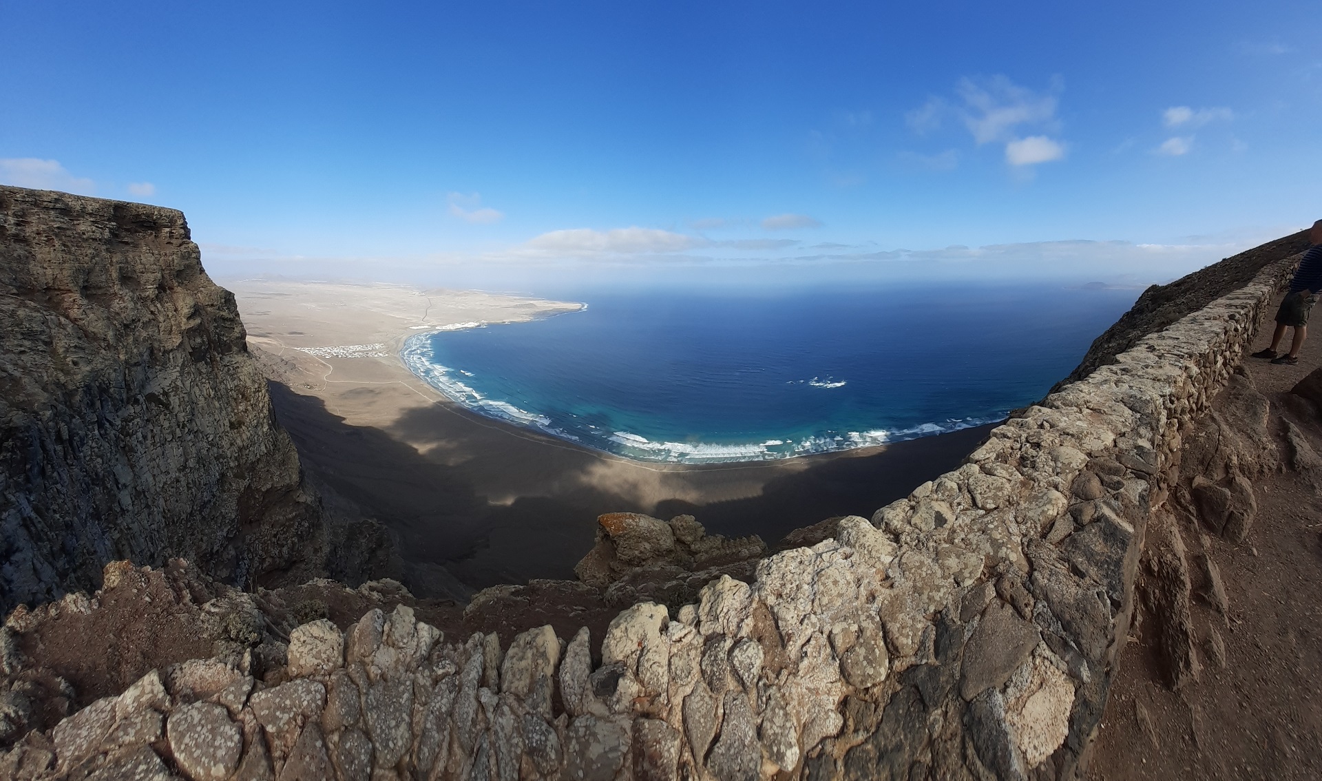
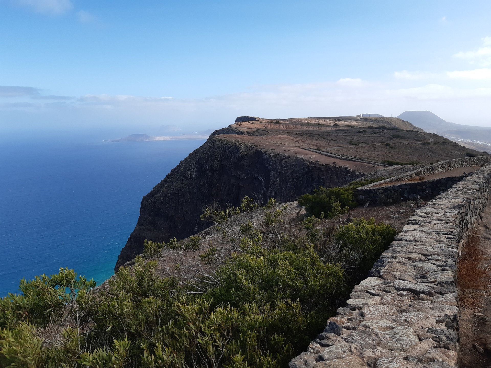
Mirador de El Risco de Famara, image credit: Juraj Hrabovsky
Caletón Blanco
The northernmost point of our trip lies just off the main highway LZ-1, after it turns southward before the village of Orzola, where you’ll find a small sandy beach called Caletón Blanco.
A small parking lot next to the beach allows for easy access. Upon our arrival, it was almost full of caravans. The white beach contrasts starkly with the black rock. It’s important to be careful when walking on the rocks barefoot, as they are very sharp. Although the ocean just off the beach is relatively calm, further out, the waves can become quite big and violent. Enjoy the nice views of the Chinijo archipelago, small islands off the coast of Lanzarote, which complete the scenery of this beautiful place that invites you to sit, relax, and soak in the smell of the ocean.
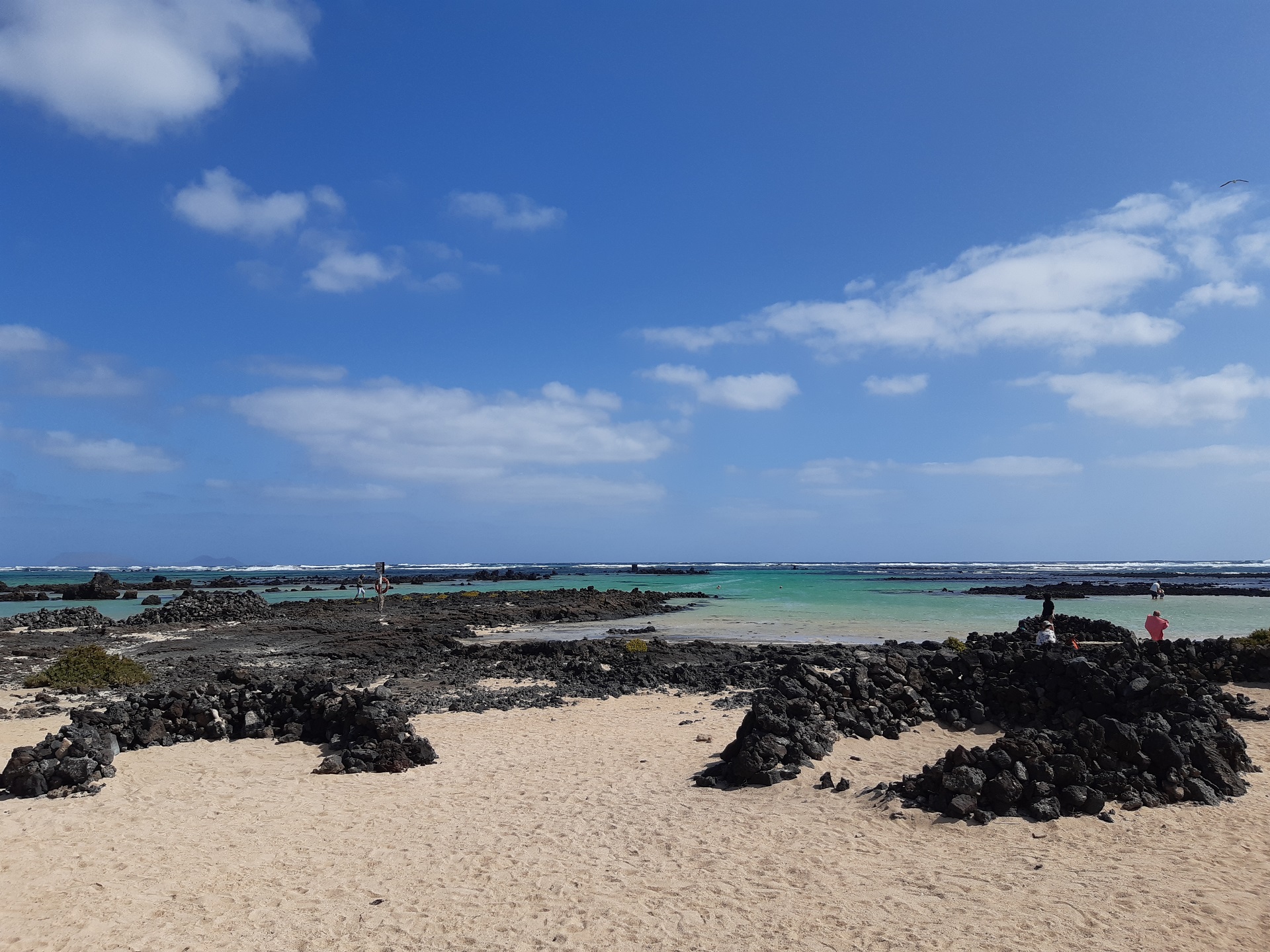
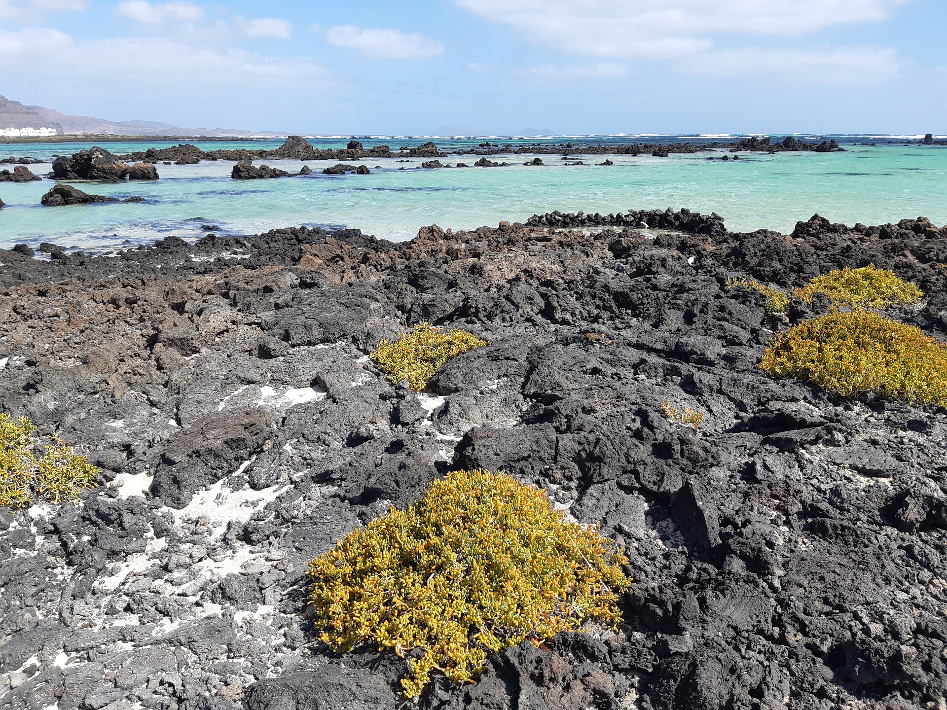
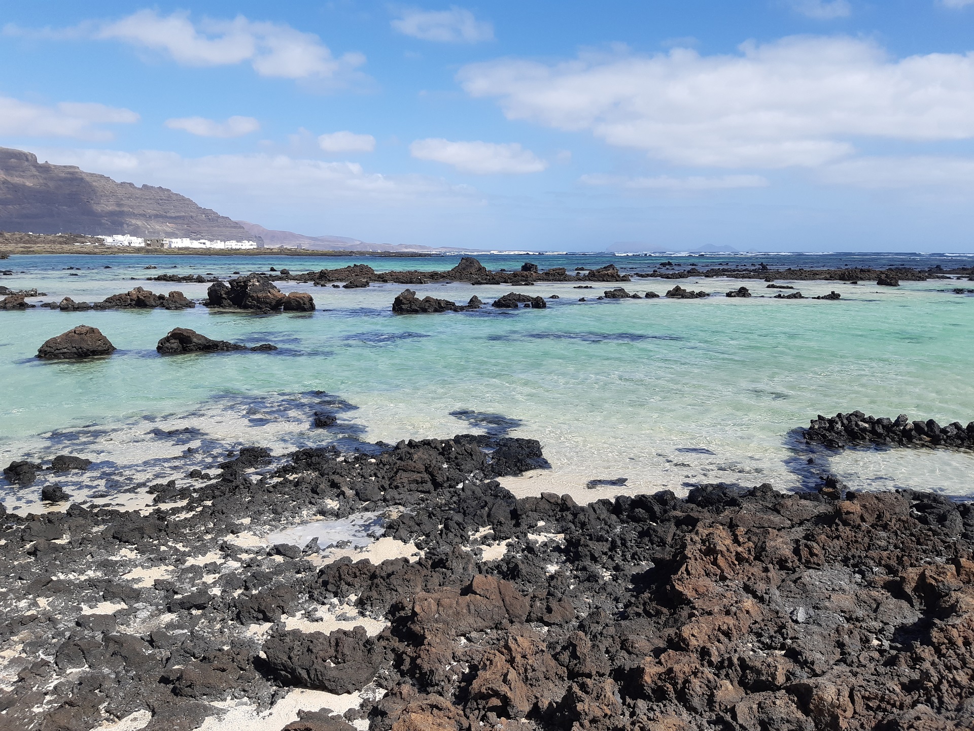
Caletón Blanco beach, image credit: Juraj Hrabovsky
For the journey back, we opted for the eastward route via LZ-1 towards Arrecife. The LZ-1 and LZ-2 highways connect the north and south of the island with Arrecife in the middle.
We didn’t stop at Punta Mujeres on the way, despite the tempting name of the village. By now, the day had become very hot, and the refreshing cool air from the mountain tops was a distant memory. We made only a short stop at Arrecife to fill the tank before continuing to small village of Montaña Blanca.
Montaña de Guatisea
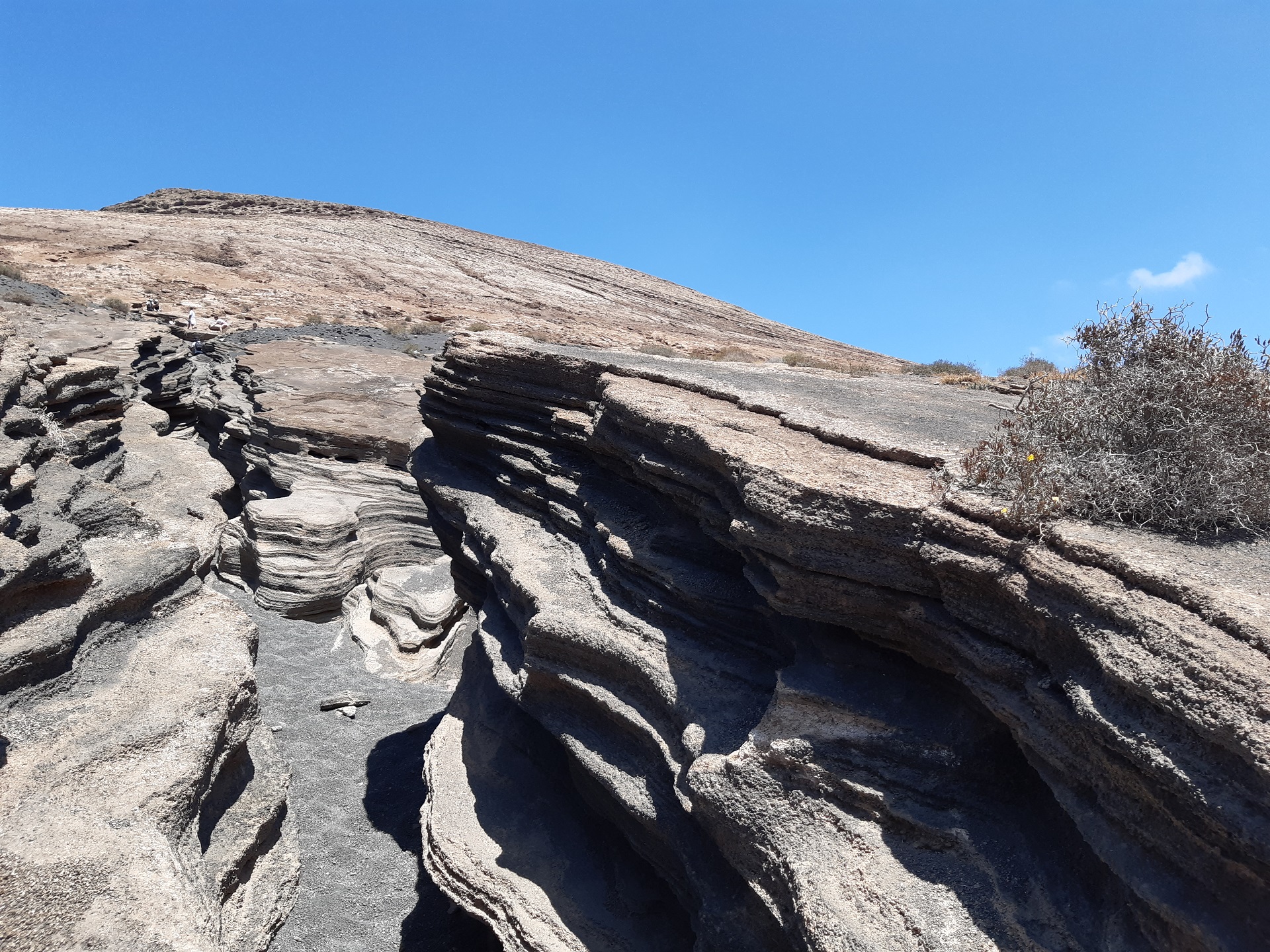
Montaña Blanca sits at the foothill of Montaña de Guatisea. There is a free parking lot on the opposite side of the road, where you start walking uphill. It is possible to use a longer route, but most people head straight into the area of small “canyons,” carved into the hill by erosion and water. They join the route to the top later on, so you end up at the same spot eventually. It’s better to look at the pictures than trying to describe it, so – have a look below 🙂 The mountain used to supply water, which was collected in the reservoir built into the mountain. There is no spring inside the mountain; however, the rainfall collected by the mountain was directed to the reservoir to be used later.
From the information board where you read the water story, the route takes you all the way to the top of the mountain, where you will be rewarded by great views all the way to the ocean. A truly remarkable sight.
Puerto del Carmen
If you like, you can carry on to the beach of Puerto del Carmen to relax, but we chose to miss this one and came the next day. The choice is yours.
The long sandy beach is overlooked by a promenade bustling with shops and restaurants, creating a typical touristy atmosphere. I couldn’t help but notice the English (or UK) influence, with many establishments serving English cuisine and drinks. For me, this wasn’t the ideal place to sample local food, something I always prioritize when traveling. However, I discovered a gem in Playa Blanca that perfectly fulfilled this desire – Casa Pachi. Although the restaurant may not look extraordinary at first glance, don’t be deceived. It offers fresh local cuisine with daily specials, ranging from seafood dishes to paellas, including ones made with black squid ink. All dishes are complemented by refreshingly cool Tropical beer, making for a delightful dining experience.
Ironically, Casa Pachi sits next to a place called Tipico Canario, which, according to our Canarian friends, doesn’t truly represent authentic Canarian cuisine, despite its fancy appearance. Locals always corrected me when I referred to their cuisine as “Spanish,” reflecting their pride in their Canarian heritage.
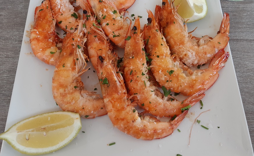
Prawns in Casa Pachi, image credit: Juraj Hrabovsky
El Golfo
South of Yaiza, the LZ-2 connects to LZ-704. The scenic route cuts through black lava fields and for a few kilometers creates the impression of some alien planet. The road eventually takes you to El Golfo bay and its volcano. To be honest, I initially thought it was the name of a local golf course. A short walk from the parking lot, and you stand on the edge of the collapsed volcano wall with a small green lake touching the beautiful black “sand” beach. The sand is really broken volcanic rock, creating a truly beautiful spot. However, the feeling might be affected by strong winds. Being on the west coast, this is not a rare thing.
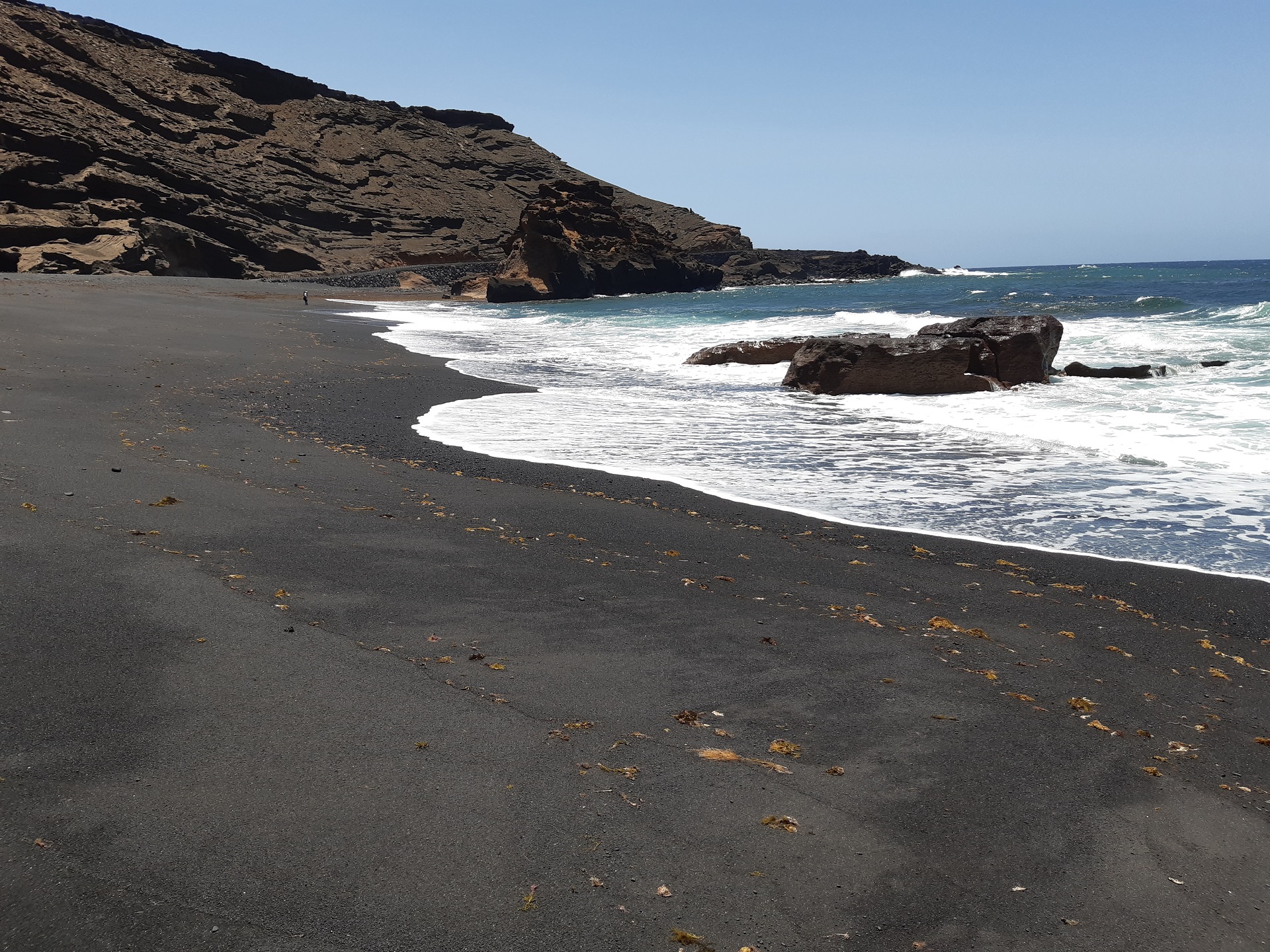
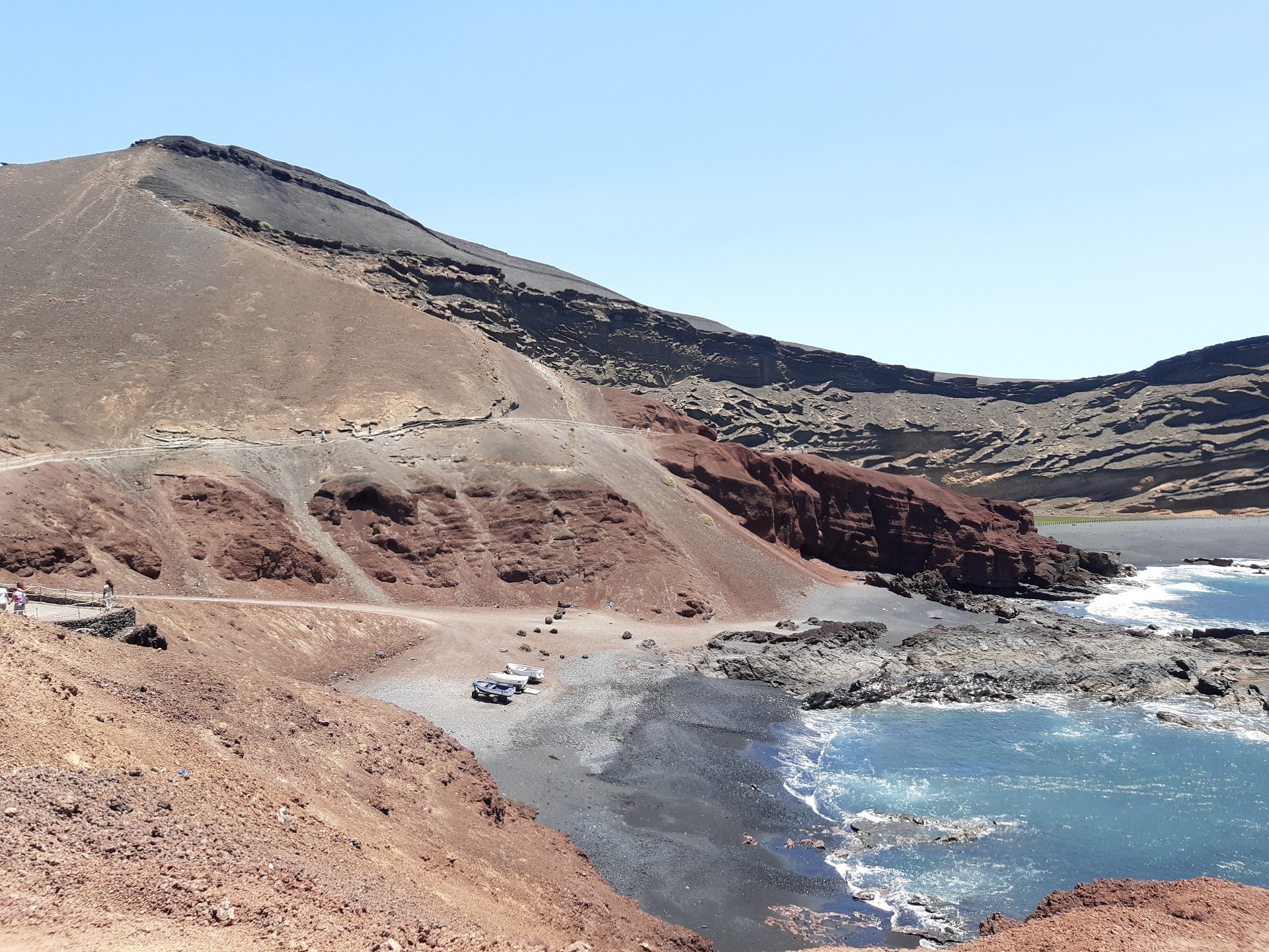
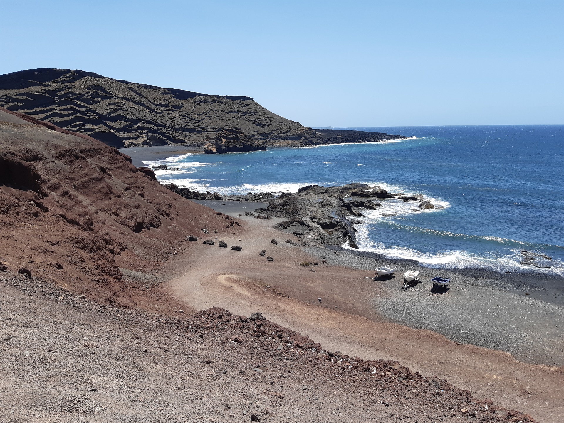
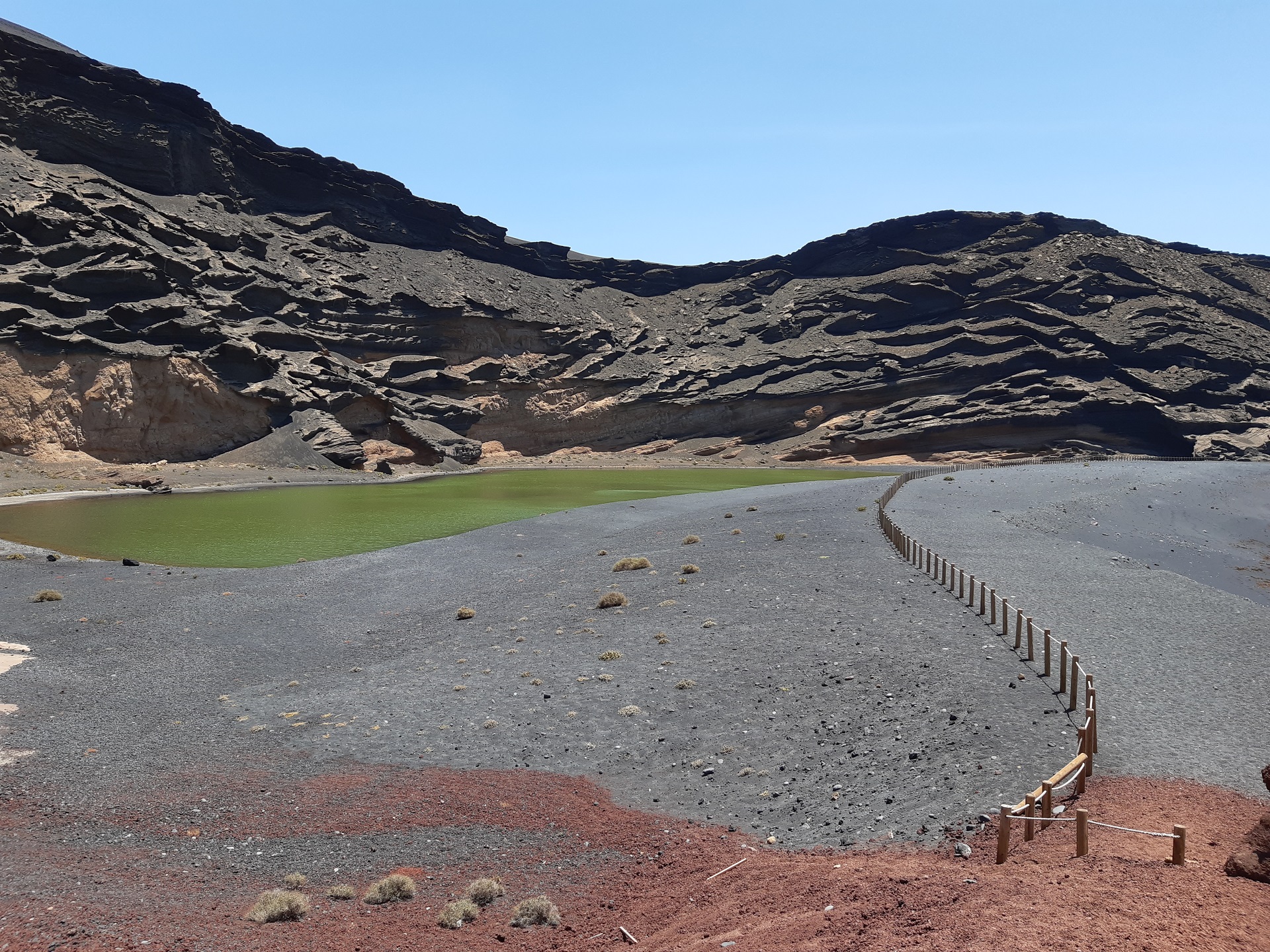
El Golfo – Lanzarote, image credit: Juraj Hrabovsky
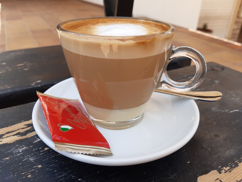
If you’d like to try Lanzarote’s specialty Leche-leche café, pay a visit to a nearby cafeteria. As the name suggests, the coffee is made with two types of milk, condensed at the bottom of the cup, with the usual caffe latte sitting on the top. It is quite sweet though, but you should try it before you judge.
The day trip around the island was a nice break from diving, even if there was some driving involved. The roads on Lanzarote are of exceptional quality, looking like they were just built last night. Many roundabouts host the art from local artist, showing the island connection to the local nature and ocean. Obvioulsy there is so much more to explore, but we came for something else. Maybe next time…

